
Madison Heights ZIP Code Coverage
Postal geography around Madison Heights is broader than the city line. The state numerical county and district reference associates six Oakland-area ZIP codes with Madison Heights, but that reference is not a municipal boundary map. ZIP 48071 is the principal current postal area for city addresses, including City Hall and the library. The other entries need an address-by-address USPS check before they are treated as a Madison Heights delivery address.
| ZIP | Areas Covered | Post Office | Notes |
|---|---|---|---|
| 48071 | Madison Heights' principal current postal area | Madison Heights | City Hall and library addresses use this ZIP. USPS controls a specific address result. |
| 48068 | Oakland-Madison Heights county and district reference area | Specific station not located in an official source | Verify each street address with USPS. |
| 48073 | Oakland-Madison Heights county and district reference area | Specific station not located in an official source | May also be associated with Royal Oak. A postal label is not a legal boundary. |
| 48067 | Oakland-Madison Heights county and district reference area | Specific station not located in an official source | Nearby postal geography, not proof that every address is in the city. |
| 48076 | Oakland-Madison Heights county and district reference area | Specific station not located in an official source | City-line relationship was not located in the official material. |
| 48083 | Oakland-Madison Heights county and district reference area | Specific station not located in an official source | Nearby Oakland and Troy-area postal geography. Check the full address. |
The 2021 city Master Plan survey found that 95 percent of respondents used 48071. That makes 48071 a useful starting point for a Madison Heights ZIP code search, not a reason to discard an exception or decide city residency from a code alone.
Madison Heights ZIP Code 48071
Madison Heights is a compact South Oakland city, with 28,468 residents and 7.09 square miles in the 2020 Census table. Most city addresses use 48071, which is why an address search often begins there. Yet parcel records, deeds, voter registration, and postal delivery each use different geography. A ZIP code groups mail delivery. It does not replace the parcel PIN, a city boundary, a legal description, or a precinct.
Older material adds another reason to keep the keys separate. Madison Heights incorporated from Royal Oak Township territory in 1955. A historic record can therefore use Royal Oak Township, Royal Oak, Pontiac, or a predecessor postal description while the modern parcel is in Madison Heights. Match older addresses through the legal description, subdivision lot and block, street variants, and the present PIN instead of relying on a postal name alone.
Note: The postal code narrows an address, but a parcel or legal description is the stronger bridge across historic city and township labels.
Verify a Madison Heights ZIP Code
The USPS ZIP Code Lookup is the direct way to confirm the postal assignment for one street address. Its result is a delivery tool. USPS specifically cautions that a ZIP result does not confirm a person or company, so it should never be used to decide who lives at an address. Use the preferred city name returned by USPS when preparing a postal search or correspondence.
- Choose the By Address mode and enter the street address. Add an apartment or suite only when it is part of the address being checked.
- Enter Madison Heights and select Michigan. The ZIP field can be left open when the goal is to resolve the address.
- Compare the returned ZIP and preferred city name with the address in hand. Save the exact postal form before moving to a parcel or agency record.
- If only a code is known, use Cities by ZIP or By City and State, then return to the full-address check before treating it as a local delivery point.
The USPS lookup screen shows the three postal search modes available for this check.
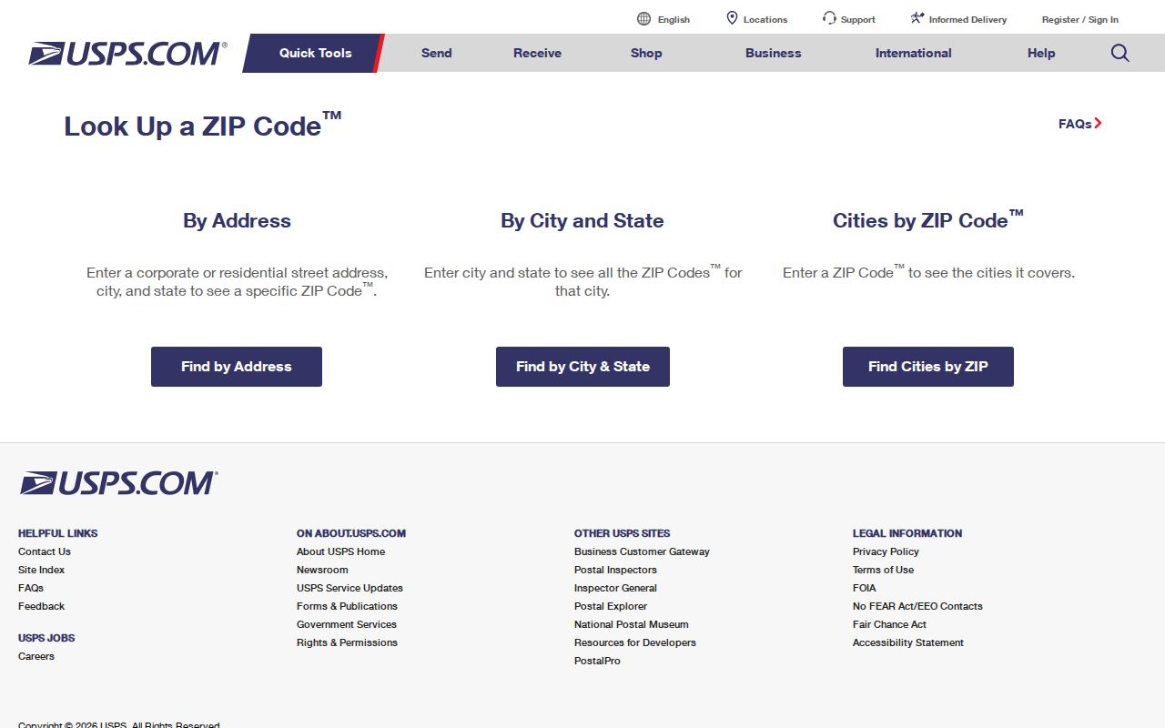
Address verification comes before a ZIP-based records search because the postal result can differ from a city or county label.
Madison Heights ZIP Code Search Fields
USPS exposes different fields for each mode. The by-address route supplies the most dependable answer for a Madison Heights ZIP code directory because it tests the actual delivery address, not just a city name or a broad county association.
| Field | Type | Required | Use |
|---|---|---|---|
| Company | Text | No | Optional addressee information. |
| Street Address | Text | Yes | Full deliverable street address. |
| Apt/Suite/Other | Text | No | Optional unit detail. |
| City | Text | Yes | Madison Heights or the city shown for the address. |
| State | Dropdown | Yes | Select Michigan. |
| ZIP Code | Text | No for address resolution | Useful when validating a full address or searching cities by ZIP. |
| Find | Button | Not applicable | Returns the postal lookup result. |
USPS also provides By City and State, where both fields are required, and Cities by ZIP, where the ZIP is required. Neither mode establishes residence, ownership, voting eligibility, or a municipal boundary.
Madison Heights ZIP Code Directory Methods
There is no confirmed universal ZIP-only resident list for Madison Heights. The city assessment FAQ advertises searches by last name, property address, and parcel ID. Oakland County Property Gateway begins with a property address or ten-digit PIN, and its public landing screen does not expose a ZIP-only field. After USPS confirms an address, use that address or PIN to reach the property record rather than assuming a ZIP filter exists.
Property Gateway accepts at least five characters, partial addresses, wildcard address patterns, partial PINs, wildcard PINs, and multiple comma-separated PINs. A result can place the parcel on the map when the PIN or address is selected. The county describes many map features as free, while printable reports and maps may be purchased. The separate Madison Heights By Street directory follows the address and parcel path in greater detail once a ZIP has been narrowed to a street.
The public-facing Michigan Voter Information Center lets an individual check their own status and polling information. It is not a ZIP directory. A Qualified Voter File request can be scoped by jurisdiction, district, county commissioner district, school, village, ward, or precinct, but the state form does not offer ZIP as its own scope checkbox.
Madison Heights ZIP Code and Parcel Keys
A postal ZIP and a parcel PIN answer different questions. The ZIP describes postal routing. The ten-digit Oakland PIN identifies a mapped parcel. Madison Heights Assessing can also use a last name, property address, or parcel ID. In an assessment record, the situs is where the parcel sits, while the mailing address is where tax or assessment notices are sent. A mailing address outside the city does not show that the owner lives there.
When an address is valid but a property search is difficult, retain the ZIP in the search notes but move to the PIN, legal description, lot, block, and subdivision. The county map may show parcel, elevation, floodplain, business-marketing, and permit-map services. Exact ZIP-layer availability and any advanced ZIP filter were not documented, so those controls should not be assumed.
Note: A homestead indicator is an owner-occupancy clue in assessment material, not proof of a person's current day-to-day presence.
ZIP Code Radius Search Limits
Michigan's public registry has city, county, ZIP, and address-radius modes. Its address-radius search accepts street, city, ZIP, county, and a radius of .25, .5, 1, 2, or 5 miles. That is a limited public-safety record with its own statutory scope, not a Madison Heights ZIP code directory and not a general confirmation of who occupies nearby homes.
The Michigan public registry search illustrates the available ZIP and radius options.
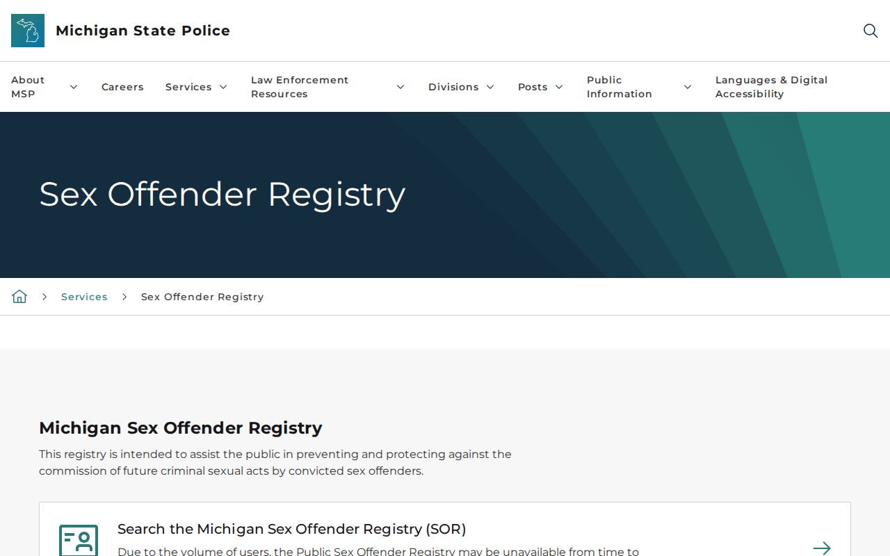
A radius result should be read only within the official record's stated scope and never combined with a postal code to infer an unlisted household.
Madison Heights ZIP Code Boundaries
A postal city is not City Hall's legal boundary. County and district ZIP references place 48067, 48068, 48071, 48073, 48076, and 48083 under an Oakland-Madison Heights label, yet their relation to the city line is not fully documented in the source material. Madison Heights property, voter, court, and city service records should be matched to their own jurisdictional keys. No verified local ZIP split or realignment year was located.
Madison Heights ZIP Code Glossary
These short terms keep the Madison Heights ZIP code directory separate from the property and election systems that use other keys.
- ZIP code
- A U.S. Postal Service delivery-routing code. It is not a city boundary or a resident list.
- ZIP+4
- An added four-digit delivery detail used with a ZIP code to refine routing for a particular address or delivery segment.
- Postal city
- The city name USPS recognizes for delivery. It can differ from the legal municipality tied to an address.
- Parcel PIN
- The property identification number used by Oakland County and property records to identify a mapped parcel.
- Carrier route
- A postal delivery grouping used to organize mail service. It does not identify every person at the addresses on that route.
For a county or city record request, provide the precise address, PIN, date range, or other key the custodian uses. Michigan FOIA, MCL 15.231 et seq., is the route for existing nonexempt public records when an online source does not supply the needed record.