
Madison Heights Block Records
Start with records tied to land and an address, not with a supposed list of every household. Oakland County's parcel map can show the parcel shapes, PINs, and addresses around a known point. City assessment information may add a recorded owner, situs, mailing address, homestead indicator, value, characteristics, or sale history for each parcel. Deeds, permits, agendas, and voter-file requests answer narrower questions and should be read with their own dates and access rules.
| Source | What It Shows About a Block | Access |
|---|---|---|
| Oakland County Property Gateway | Adjacent parcel shapes, PINs, addresses, and available map layers | Free map and search; report or map products may cost |
| Madison Heights assessment files | Recorded owner, situs and mailing fields, values, homestead clues, characteristics, and sale history | Name, address, or PIN search; city counter |
| Oakland deed index | Ownership changes and legal descriptions for a parcel | Free index; copies may cost; older-series gaps can apply |
| Building or code records | Address-linked work, applicant, owner, contractor, and chronology | City Building or Community Development; some online; FOIA for archive records |
| Qualified Voter File request | Defined public registration fields within the requested geography | MDOS FOIA request with statutory redactions and format rules |
| Historical directories | Earlier street occupants when a volume covers the area | Library or Oakland History Center; years vary |
| City agendas and public bodies | Public applicants, planning cases, and meeting material tied to an address | Agenda Center phrase, date-range, and category search |
| Civic organizations | Public contacts and meeting information | Organization and city public channels, not private membership rolls |
These records distinguish a property owner, a person receiving tax mail, a recorded party, an applicant, and a resident. They are not interchangeable roles. A current owner can live elsewhere, while another household member may not appear in any property source.
Map a Madison Heights Block
The defensible block method moves outward from a known parcel. Open the address or PIN in Oakland County Property Gateway, use the map to identify the abutting parcel polygons, then open each parcel record one at a time. Aerial appearance alone can be misleading, especially where there is a side lot, alley, condominium, or public right-of-way.
Address or PIN → map parcel → abutting parcel polygons → each PIN and situs → assessment fields → deed or permit only when a dated question remains.
- Enter the known address or ten-digit PIN. The Property Gateway search needs at least five characters and accepts partial addresses, partial PINs, wildcard patterns, and multiple comma-separated PINs.
- Select the matching map or property result and record the parcel PIN, situs address, ownership role, mailing distinction, and source date.
- Click each parcel that actually abuts the starting parcel. Treat a public right-of-way, an alley, or a separate lot as its own feature rather than guessing from the aerial view.
- Check the city assessment or deed index only for the question at hand. For a whole named street rather than an immediate block, use the Madison Heights By Street directory.
The accessible official material does not identify the map viewer's exact adjacent-parcel, buffer, measure, or select control names. Use the visible parcel map and do not claim a particular automatic neighbor tool is available.
Madison Heights Parcel Records
Property Gateway is map-based. A search by parcel or address can return map and property hits, and selecting the PIN or address places the parcel on the map. Oakland County's mapping material names parcel, elevation, floodplain, business-marketing, and permit-map services. Many map features are free, while some reports and printable maps require a credit-card purchase. A business account may be available for high-volume users.
The Oakland County Property Gateway is the official starting point for the parcel layer discussed here.
Once a record is open, copy the PIN and legal description before comparing a deed. A legal description identifies the property through its lot, block, subdivision, or other land description. It is more durable than a street number when an old address has changed form or city boundaries have shifted.
Madison Heights Ownership Records
A common mistake is to assume that a property record tells who is at home. Madison Heights assessment data can provide an owner, property address, parcel ID, structural details, sale history, and a homestead indicator. The situs is the parcel's physical location. The mailing address is the address used for tax or assessment notices. Neither one turns the record into a list of everyone who may live there.
Homestead or principal-residence status is an owner-occupancy indicator, not a day-to-day presence test. A deed records legal parties and a parcel. A permit can identify an owner, applicant, or contractor. Those labels are useful only when kept separate. This role check is the best safeguard against mistaking a block map for a reliable people directory.
Note: Keep the parcel PIN, situs, mailing field, record date, and person role together when comparing more than one public record.
Madison Heights Voter Records
The Michigan Voter Information Center lets an individual verify their own registration, polling place, districts, and ballot-related information. It is not a public street screen. Public registration data may be requested through FOIA, but a request must use the state form's defined geographic scope. Jurisdiction, ward, precinct, district, school, and county options are available; a free block roster is not.
MCL 168.509gg requires redaction of driver's-license or state-ID numbers, month and day of birth, phone numbers, email, digitized signatures, the last four digits of Social Security numbers, the office receiving registration, and declined-registration data. The state form can include public name, residential or mailing address when available, year of birth, registration date, voter status, voter ID, and requested voter history. It is delivered by encrypted flash drive, FTP, mail, or pickup rather than email.
A public voter record is not an unredacted voter database. Michigan does not ordinarily register voters by party in the Qualified Voter File, and participation history does not establish party identity.
Madison Heights Civic Records
Madison Heights does not publish a citywide neighborhood-association or HOA directory, and no authoritative block-by-block private roster was located. The useful local layer is public contact and meeting information. The Madison Heights Community Coalition, the city boards and commissions, and city civic-resource pages offer public channels without representing that they list every household or member.
Madison Heights Community Coalition
Public contact: 300 W. 13 Mile Road, Madison Heights, MI 48071
Phone: 248-837-2665
Route: MHCC public website
Boards and Commissions
Public channel: 35 city boards, commissions, and committees, with more than 240 volunteers reported by the city.
Route: Agenda Center searches public categories, phrases, and dates.
Civic and Community Groups
Public channel: City community-resource links.
Route: Madison Heights civic resources is a starting point for public organization information, not a private association directory.
The Madison Heights Community Coalition website is the source for this public civic contact.
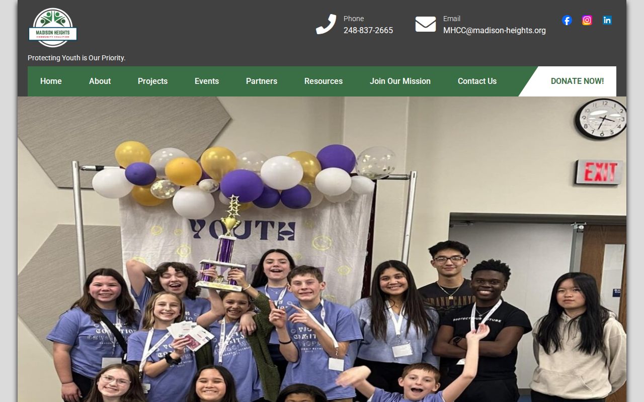
Public contact information can help with a community question without suggesting that the organization makes a member list available.
Madison Heights Public Records
The city Agenda Center can search Planning Commission, Zoning Board of Appeals, Historical Commission, City Council, and other public categories by word or phrase, date range, and category. An address appearing in an agenda packet can point to a planning or civic event, but it does not prove who occupies the property. Use the date and public body to understand the document's context.
The Madison Heights Agenda Center displays the public categories used for that search.
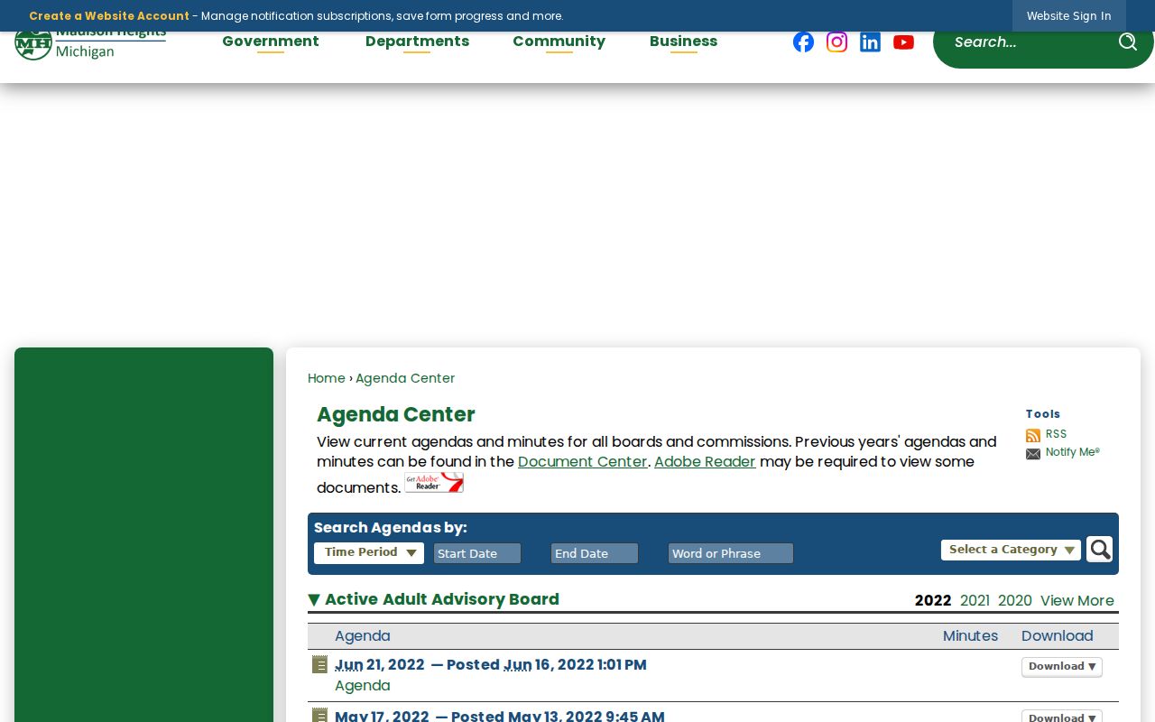
Agenda results work best as a dated civic trail alongside a parcel record, not as a way to identify a private household.
The city business and community resource page groups public links that may help identify the correct office or public organization.
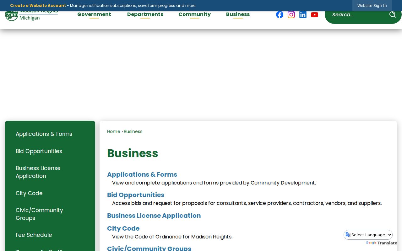
Use these city links to reach public information channels, while leaving unpublished association and social-group membership private.
Madison Heights Block History
For an earlier block, historical directories may identify street occupants when the correct volume covers the area. Coverage is uneven because Madison Heights was incorporated in 1955 from Royal Oak Township territory. Older residents can appear under Royal Oak Township, Royal Oak, Pontiac, or a regional directory instead of the present city name. The 1860 to 1962 Pontiac and Oakland volumes, the 1919 rural-route directory, and local Heritage Book material can provide context without replacing a parcel or deed trail.
The Heritage Rooms in the lower level of City Hall keep yearbooks from all Madison Heights schools and civic-group material. They are open on the calendar or by appointment. The Heritage Rooms are a local channel when a historical address needs school, civic, clipping, or oral-history context.
The city application forms page identifies public request categories, including FOIA-related city services and code-enforcement requests.
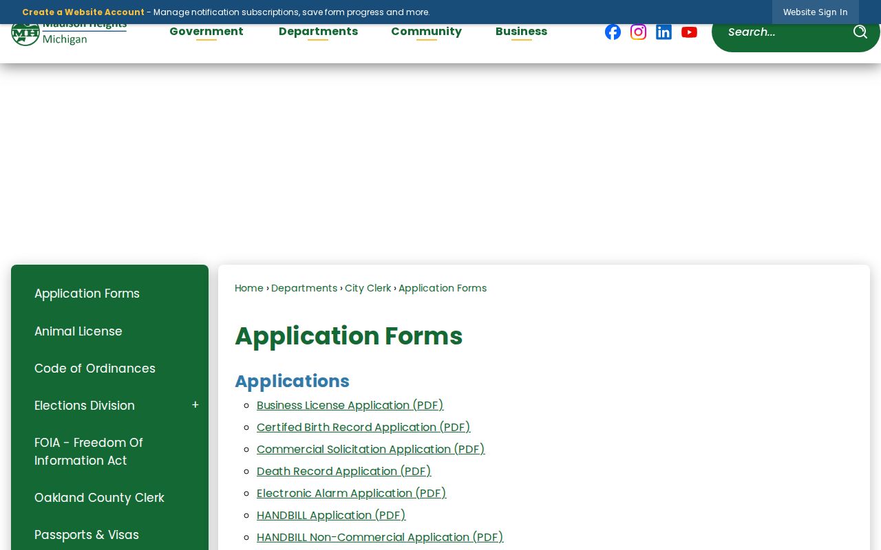
A city form can direct a narrow request to the correct office, but a submitted form is not proof that someone lived at the address.
Madison Heights Source Records
Official records and compiled neighbor products answer different questions. A dated parcel card, deed index, agency agenda, or defined voter-file request identifies its custodian and record type. A compiled tool can merge older addresses, ownership data, and other material without making the underlying claim current or complete. Treat any compiled result as a lead to verify, never as a final answer about a block.
| Question | Official Public Source | Compiled Neighbor Tool |
|---|---|---|
| What parcel is next to this one? | County parcel map with PIN and polygon | May simplify boundaries or omit parcel context |
| Who is the recorded owner? | Assessment or deed record with a date and role | May merge older ownership or mailing information |
| What happened at an address? | Named city agenda, permit, or recorded instrument | May lack the official document and date |
| How should it be checked? | Return to the named custodian and source date | Confirm against the official record before relying on it |
For public city material that is not online, a focused Michigan FOIA request under MCL 15.231 et seq. should name the address, record category, and date range. The agency provides existing nonexempt records; it does not create a household report.
Privacy for a Madison Heights Block
Property files do not list every occupant. Other household members may be absent. Utility customer lists, delivery records, and DMV addresses are not public resident directories. Michigan Address Confidentiality Program participants may use a designated address or have information withheld under applicable rules. Private group membership and unpublished alumni or social-media rosters are not public sources simply because the group is local.
Recorded documents and public voter data can also carry redaction and confidentiality limits. Do not try to fill those gaps by connecting records that do not establish the same thing. A parcel owner, mailing address, voter registrant, recorded party, and occupant are separate roles. If the record is stale, unclear, or unrelated to the property question, ask the custodian how to verify it.